This year’s rains have fed countless waterfalls around California, and outdoor enthusiasts are looking for the best waterfall hikes in the Bay Area and beyond. We’ve compiled the what, where and how of the best places to see waterfalls around the state, whether you’re setting off from the Bay Area or elsewhere in the state.
Hikers should note that waterfall sizes vary based on the season! The lush pictures seen below were taken during the wet season, which usually last from winter through spring.
Featured photos by Jordan Reid.
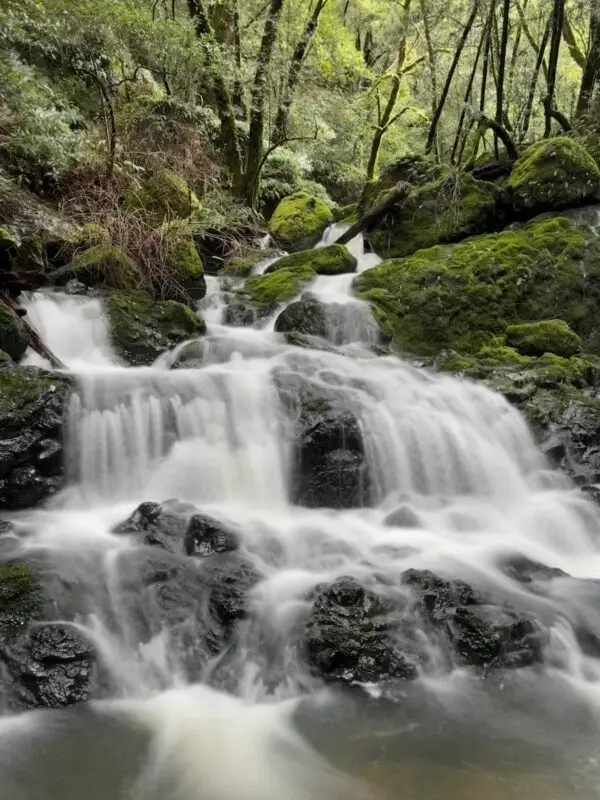
Cataract Falls
What: Cataract Falls, near Stinson Beach, Marin County
How Long: We recommend the two-mile out-and-back hike. The trailhead is right off the street, with some steep inclines along the way.
Where: Marin County – see it on AllTrails.
Parking: There is minimal street parking near the trailhead where we parked. We recommend arriving early or going on weekdays to help get a spot.
Accessibility: This requires a lot of uphill hiking. There are no paved portions.
Facilities: There are limited picnic tables and bathrooms about halfway into the hike.
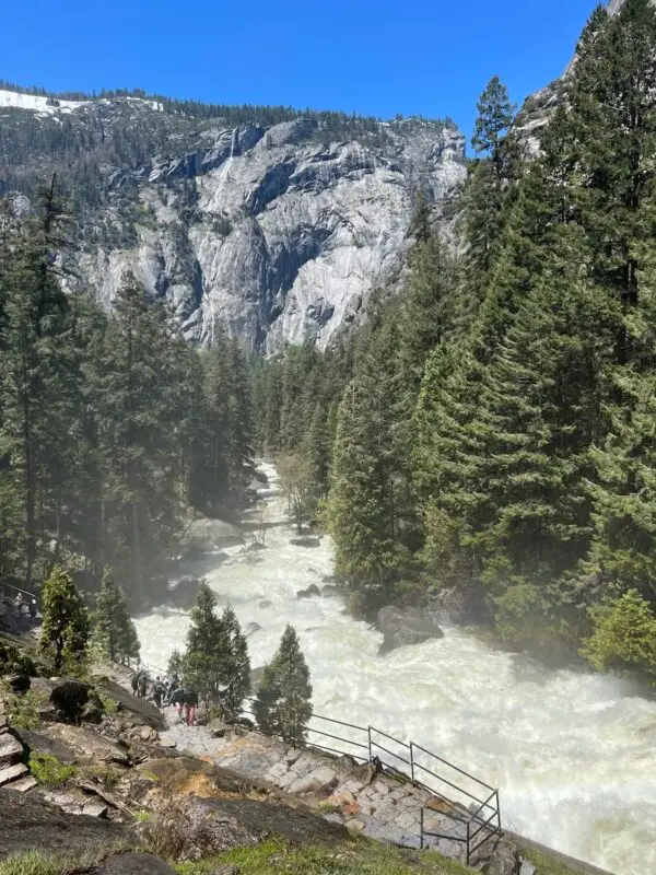
Vernal Falls
What: Vernal Falls, Mist Trail.
How Long: 3.1 miles out and back
Where: Yosemite Valley – see it on nps.gov
Parking: Parking is available throughout Yosemite Valley. We recommend finding a spot in the lot near the Upper Pines Campground.
Accessibility: A paved trail leads up to the footbridge that crosses the Merced River. Beyond that, hiking on unpaved trails is required.
Facilities: Seasonal bathrooms and a water fill-up station are just past the Merced River footbridge.
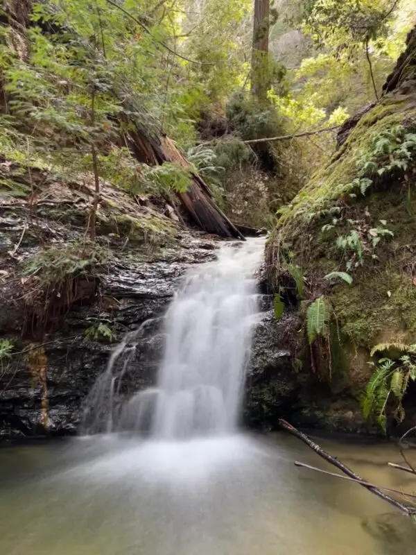
Tiptoe Falls
What: Tiptoe Falls
How Long: 1.2 miles out and back.
Where: Portola Redwoods State Park – see it on AllTrails.
Parking: $10 entrance fee to park at Portola Redwoods State Park.
Accessibility: Requires hiking on unpaved trails the whole way.
Facilities: Restrooms and a visitor center are available before starting your hike.
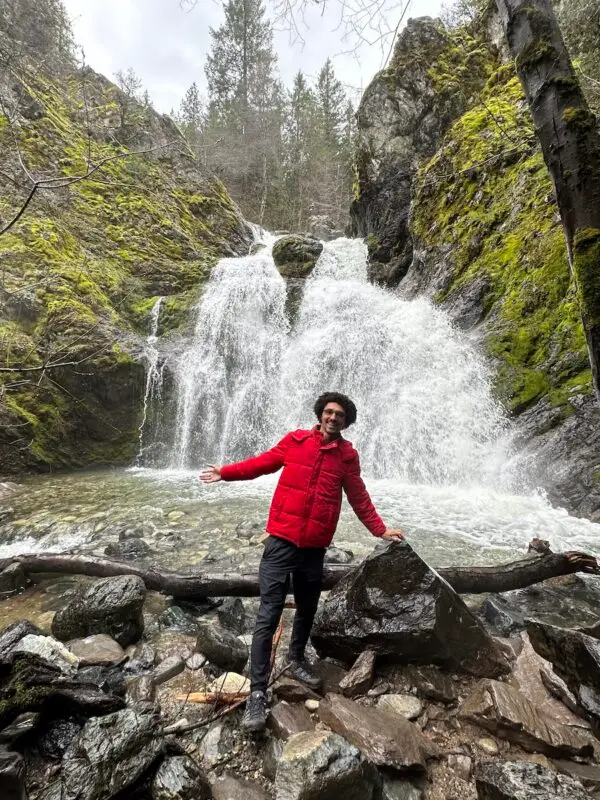
Faery Falls
What: Faery Falls
How Long: 1.4 miles out and back.
Where: Mt. Shasta – see it on AllTrails.
Parking: You can park at a dirt lot right at the trailhead. Be advised the last 0.5 miles of the road to get here is unpaved and littered with potholes!
Accessibility: No paved trails.
Facilities: There are no restrooms or facilities of any kind. You’re out in the wild for this one!
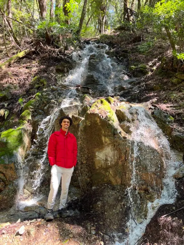
Sanborn Creek
What: Sanborn Creek – This is a slight cheat since there isn’t a large waterfall, but hiking along this creek is a beautiful experience.
How Long: 1.5 miles out and back.
Where: Sanborn County Park, Saratoga – see it on AllTrails.
Parking: We parked on the side of the road next to the trailhead. Parking is limited!
Accessibility: This trail requires hiking on uneven ground and a river crossing.
Facilities: Don’t expect any restrooms or picnic tables here.
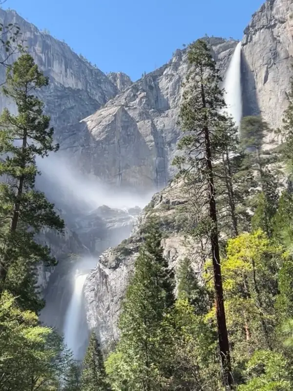
Yosemite Falls
What: Yosemite Falls
How Long: A short but rewarding 1.2-mile loop will take you to the base of lower Yosemite Falls.
Where: Yosemite Valley – see it on nps.gov
Parking: There is parking near the trailhead, but it can fill up fast during peak hours.
The Yosemite shuttle system can also drop you off close to the trail.
Accessibility: The entire 1.2-mile hike is on a paved trail, and there isn’t much elevation gain.
Facilities: This trail has plenty of picnic tables and restrooms nearby.
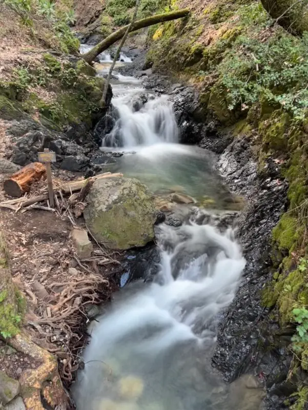
Uvas Canyon
What: Uvas Canyon
How Long: A short 1.5-mile out-and-back hike will take you past three stunning waterfalls.
Where: Morgan Hill – see it on AllTrails.
Parking: A reservation is required to enter Uvas Canyon County Park. And there is a $6 park fee.
Accessibility: The entire hike is along uneven, unpaved dirt trails.
Facilities: Near the park’s entrance, there are restrooms and tables where you can relax for a nice lunch.
And that wraps up our 7 dreamy waterfall hikes in the Bay Area and Beyond! Which one are you going to explore next?
Looking for more things to do in the area?
Visit our Explore the Bay Area page!


