Sometimes you just need a change of perspective. Nothing can do that quite like hiking to the top of a mountain in Marin: Take in the views of the bay and the county laid out in front of you. Here are a few of the best spots to visit when you’re looking for these views.
Photo by David Abercrombie, CC BY-SA 2.0, via Wikimedia Commons.
The trek to the 1,558-foot summit of Mount Burdell provides sweeping views of the Bay Area; it’s no wonder, considering that this is Marin’s fifth-highest peak. The combination of fire road and trail that loops up to the summit is six miles round trip of moderately difficult terrain, starting from the trailhead at the San Andreas Drive Open Space gate. To access Mount Burdell Open Space, leave Highway 101 at the San Marin Drive exit, then follow San Marin Drive to San Andreas Drive and go up the hill. Parking is available near the green Open Space gate.
Hiking Level:
Moderate
Length:
6 miles
Amenities:
None
Parking:
Street parking
Dogs:
Yes
Photo by Richard Wood, CC BY-SA 3.0, via Wikimedia Commons.
The iconic hike from Mill Valley to the East Peak of Mount Tamalpais includes many options for trails. A popular one is Old Railroad Grade, a wide trail with unobstructed views of Mill Valley and the San Francisco Bay all the way to the Pacific. Depending on where you begin, Old Railroad Grade Trail is a 6.8-mile steady but moderate climb up to West Point Inn. Like the scenic railway that preceded it, the Old Railroad Grade is anything but typical. It’s a steady ascent to the 2,571-foot high East Peak (the highest peak in Marin County), and you should expect a moderately long hike before being rewarded with a stunning view from the summit.
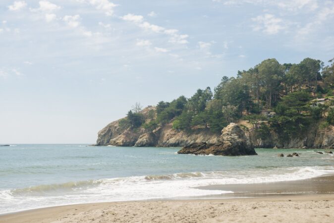
After arriving at the parking lot at Fort Cronkite/Rodeo Beach, start your hike up to Hill 88 by passing through the gate that lands you on the Coastal Trail. It’s 2.7 miles and 1,100 feet of climbing to reach the top of the hill. The trail starts out as paved road and becomes a mixture of paved and dirt as you climb through multiple switchbacks. Looking left about 1.5 miles in, check out Battery Townsley (a partially buried concrete bunker), a great spot that provides stellar coastal views. As you approach Wolf Ridge, the grade increases and a small trail off to the right leads up to Hill 88. Take in the views on the hike back down to Rodeo Beach.
Hiking Level:
Easy to moderate
Length:
4 miles roundtrip
Amenities:
Restrooms, water, outdoor showers
Parking:
Free lot
Dogs:
Yes
More Please!
For more suggestions on the best restaurants in the North Bay, the best things to do in the North Bay and the best places to stay in the North Bay, click here.