

You have three choices: 1) Local Getaways—inspirational California travel content; 2) Foodie Friday—because life’s too short for a bad meal; and 3) Aloha Friday—delivering a dose of sunshine to your inbox.

Local Getaways Express is a digest-sized quarterly booklet for visitors to San Francisco and the Greater Bay Area, including listings for restaurants, museums, galleries and more!

You have three choices: 1) Local Getaways—inspirational California travel content; 2) Foodie Friday—because life’s too short for a bad meal; and 3) Aloha Friday—delivering a dose of sunshine to your inbox.
Local Getaways Express is a digest-sized quarterly booklet for visitors to San Francisco and the Greater Bay Area, including listings for restaurants, museums, galleries and more!
In summer and fall, the San Francisco Bay Area is typically blanketed by a thick marine layer, otherwise known as fog. This gray Pacific murk can block the sun for days in some spots along the coast, a phenomenon which subdues the locals and depresses the tourists seeking a sunny California vacation.
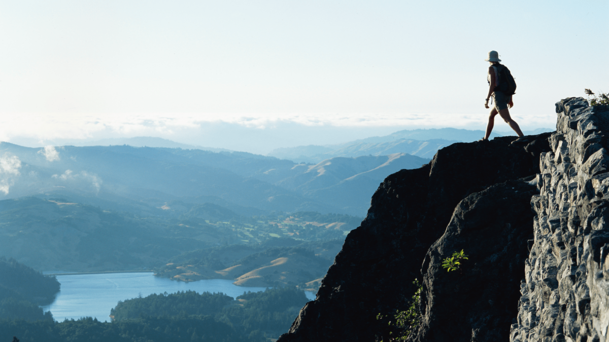
Fortunately there are a number of regional peaks and ridges that rise above these seasonal, sun-blocking clouds, inviting hikers to enjoy sensational higher-elevation views on foggy or fog-free days. Here are some the best above the clouds, summit hikes in the Bay Area.
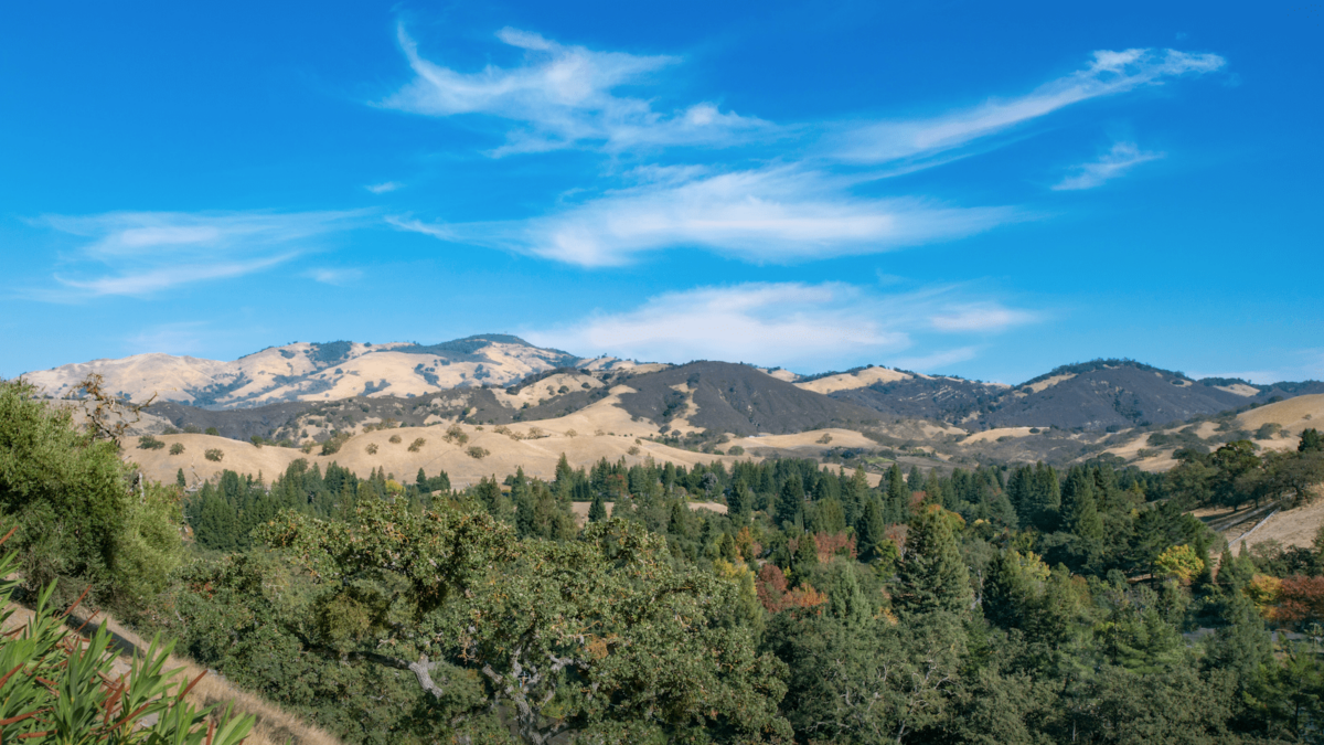
Crown jewel of the East Bay, Mt. Diablo (elevation 3,849 feet), is famous for its remarkable summit views. On clear days, you can see over 8,500 square miles and parts of 40 of California’s 58 counties — amazing! Gaze to the distant west beyond the Golden Gate and you’ll see the Farallon Islands. To the southeast you can see the James Lick Observatory on Mt. Hamilton (4,213 feet). To the south are views of Mt. Loma Prieta in the Santa Cruz Mountains (3,791 feet) To the north Mt. Saint Helena (4,344 feet) rises from the Coast Range and Mount Lassen (10,466 feet) in the distant Cascade range.
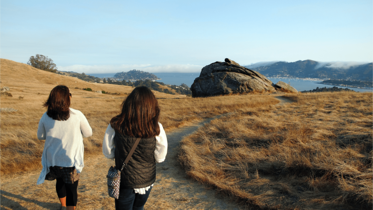
At the base of the Tiburon Peninsula, Ring Mountain Open Space is a hiker’s paradise in Marin. The preserve’s 367 windswept acres, laced with a variety of trails and fire roads, offer 360-degree views of San Francisco and San Pablo Bays, Angel Island, and the picturesque hill towns of Mill Valley, Sausalito, Belvedere, and Tiburon. Originally protected by the Nature Conservancy (largely for its unusual and rare wildflowers, some of which are found only here), Ring Mountain has grassy hills, large metamorphic boulders (one popular with the climbing crowd), sweeping scenery, and a deeply refreshing feel that makes this one of Marin’s most beloved spots for year-round escape.
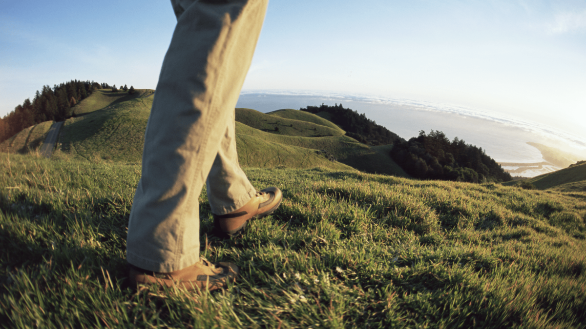
The Verna Dunshee Trail (.75 miles) circumnavigates Mt. Tam’s East Peak (elevation 2,571 feet). It’s named for a founding member of the Marin Conservation League and is one of shortest but sweetest paths on the mountain. Sunrise Point is the highlight of this route, with panoramic views of San Francisco, the Marin Headlands, and the Bay. On a clear day, you can see all the way to the Sierra Nevada range, more than 150 miles to the east, and to the craggy Farallon Islands, which are 25 miles out to sea. A day-use parking fee is charged at the summit parking lot.
One of the most scenic spots on Mt. Tam is a simple stone bench, a few minute’s hike from the Rock Spring parking area (no fee required) on the mountain’s western slope. Named after Richard Festus “Dad” O’Rourke, a founding member of the Tamalpais Conservation Club, O’Rourke’s Bench is a perfect place to picnic above the clouds. “Dad” O’Rourke called it “the edge of the world:” The awesome panoramic views encompass Tam’s oak-studded, grassy hillsides, San Francisco, and, on clear days, the sparkling Pacific. The nearby Bolinas Ridge trail invites longer hikes on this truly spectacular coastal ridge.
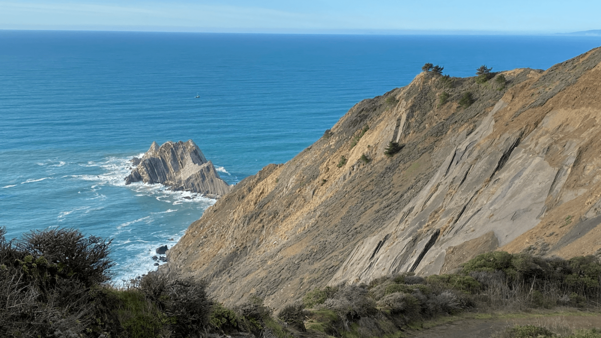
A heavily trafficked loop located just before Devil’s Slide tunnels, this trail offers an abundance of treats. Mushroom lovers will delight in the fungi, including fairy tale amanitas that sprout up following the rains. Dog owners can bring their pups, and just about everyone can take pleasure in the pristine coastal views and swaths of wildflowers. Parking can be dicey and there is poison ivy off the path, so don’t veer from it.
Looking for more things to do in the Bay Area?
Visit our San Francisco, North Bay, East Bay and South Bay pages!