You have three choices: 1) Local Getaways—inspirational California travel content; 2) Foodie Friday—because life’s too short for a bad meal; and 3) Aloha Friday—delivering a dose of sunshine to your inbox.
Local Getaways Express is a digest-sized quarterly booklet for visitors to San Francisco and the Greater Bay Area, including listings for restaurants, museums, galleries and more!
Sometimes you can have your cake and eat it too, and by that we mean have your wine and maintain your waistline. Famed for the culinary scene and biking — and of course the acres and acres of vineyard — Napa and Sonoma don’t receive too much attention for hiking, though there’s loads to write home about. With varying levels of difficulty and changing terrain, hikes here offer something for everyone. These are our picks for best Wine Country hikes.
*Wildfires happen, things change — be sure to check the trail status before you go.
Photo Credit: AllTrails
Photo: AllTrails
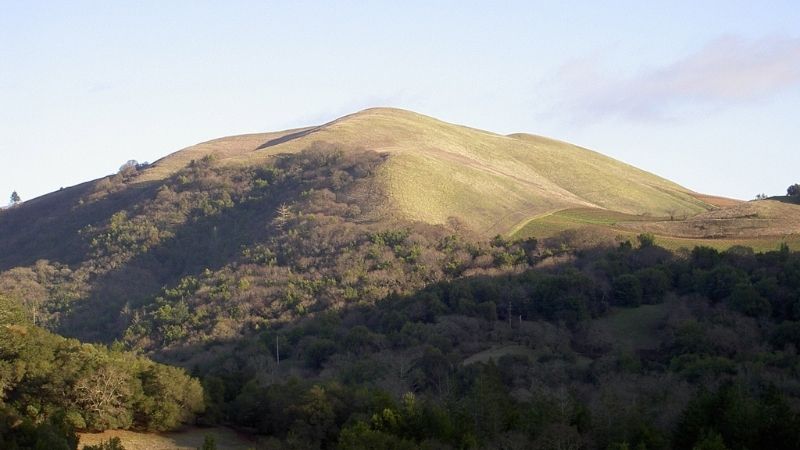
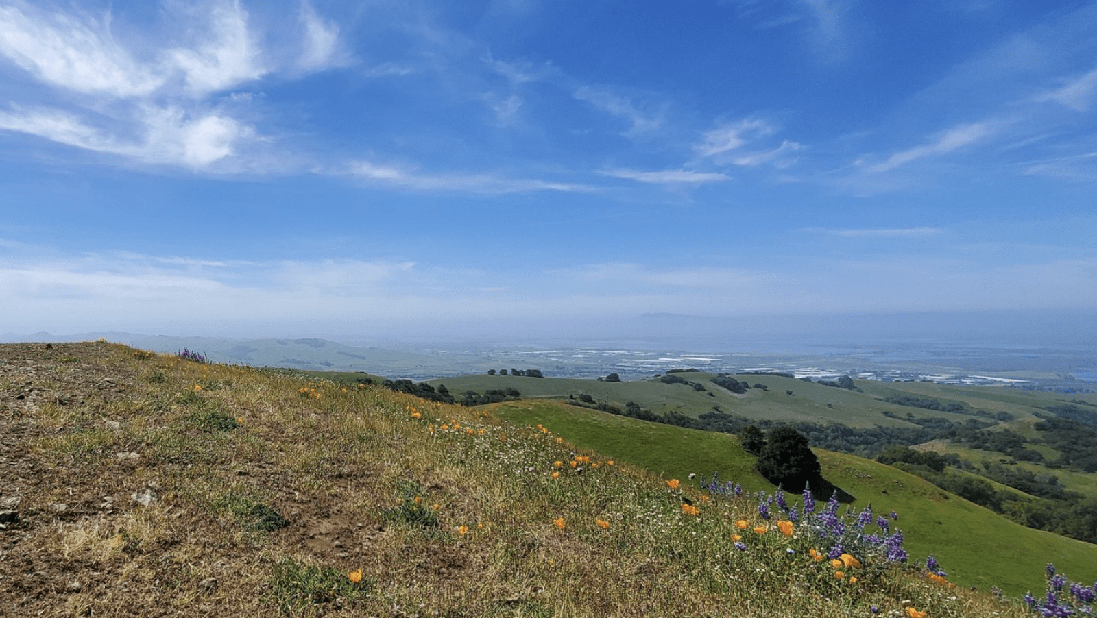
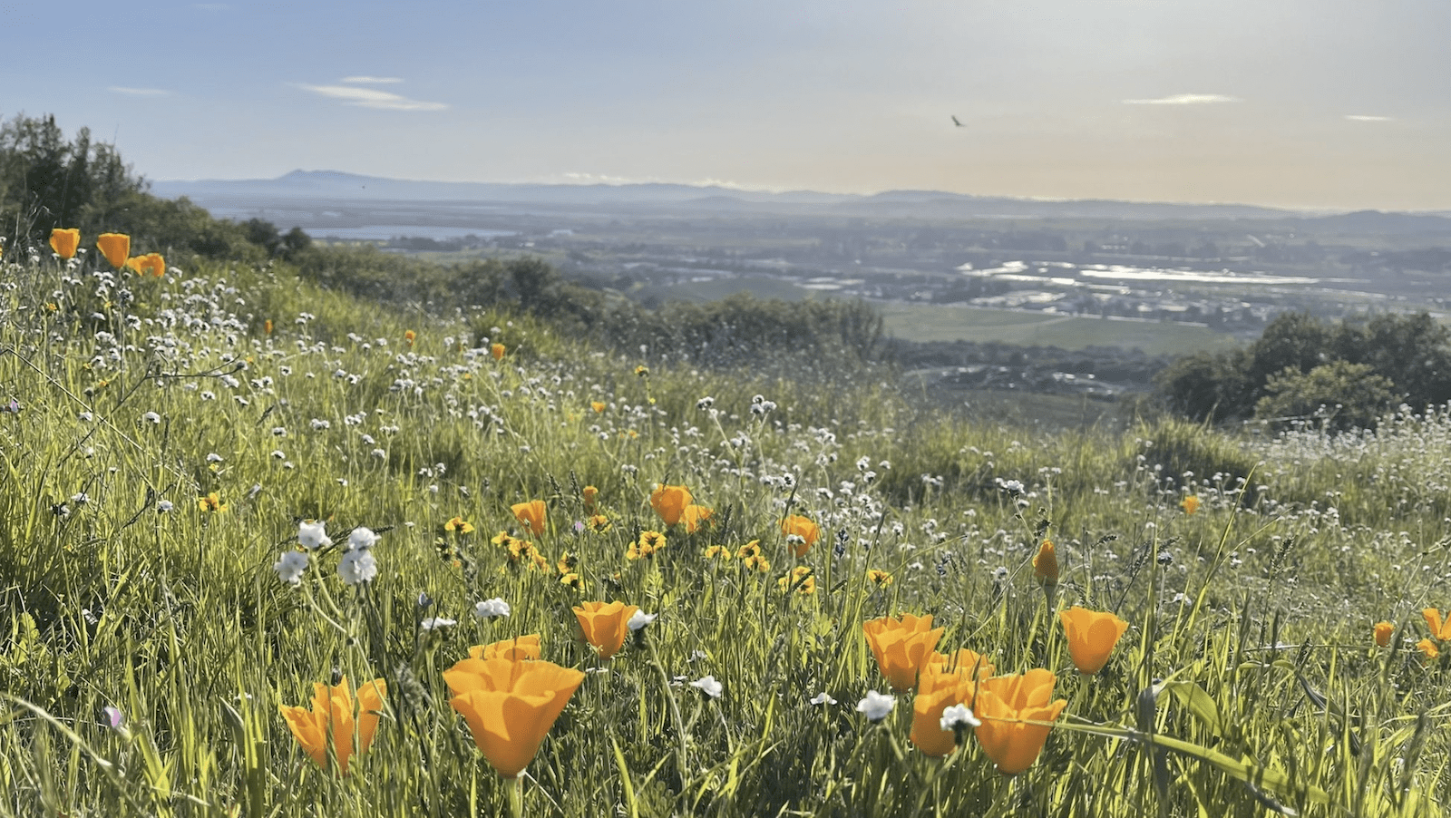
Bald Mountain Trail
KENWOOD
Level: Moderate — 5.1 miles
Located in Sugarloaf Ridge State Park, this trail features not only amazing views of both Napa and Sonoma valleys, but also of San Francisco and the bay. You’ll notice burn areas from recent fires and the resiliency of nature — wildflowers are abundant here. Among the special sights are whispering bells which only bloom every few years after a wildfire. With some steep portions and a climb of 1,528 feet, hiking boots are advised.
An easy-to-moderate level of difficulty due to the uphills at the end of the hike, there’s an assortment of treats to take in on this trail, none bigger than the waterfall which runs in early spring. Not too packed for a trail that’s noted for its beauty, it tends to get hot here so bring extra water and go early in the morning if you’re sensitive to heat. Parking is plentiful but costs $10.
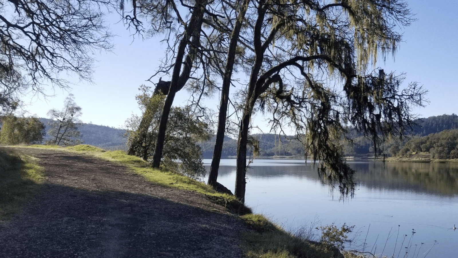
Yes, there’s a lake named like a liquor in Wine Country. A dry, rocky loop — wear hiking boots — that’s often eerily quiet, this trail is dog-friendly and partially shaded. You’ll get to see a wide variety of birds regardless of season and may even luck out with a river otter spotting. The parking lot is small and ticks are known to be in the area, so keep doggo on a short leash.
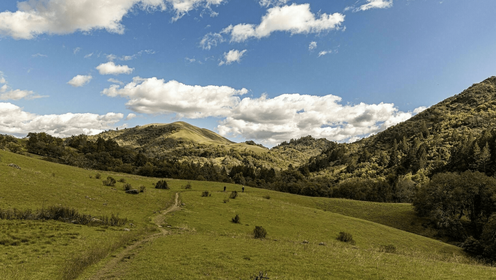
Wildlife area is right — among the things you’ll encounter here are lots of birds, lizards, wildflowers and possibly even snakes. With an elevation gain of just over 1,100 feet, some parts are especially steep and rocky so wear boots with a solid grip. After the climb you’ll be rewarded with spectacular views from the ridge. There aren’t too many shaded areas so wear a hat and bring plenty of water along.
Popular for a handful of reasons, the name says a lot. An ideal pick if you’re looking for a casual stroll before dinner, you won’t work up much of a sweat here or get dirty — the trail is very well maintained and offers plenty of shade. The trail ends at the entrance of Skyline Wilderness, so if you are looking for more of a challenge, this presents a perfect opportunity. One note: it is rocky in sections so wear shoes with a good grip.
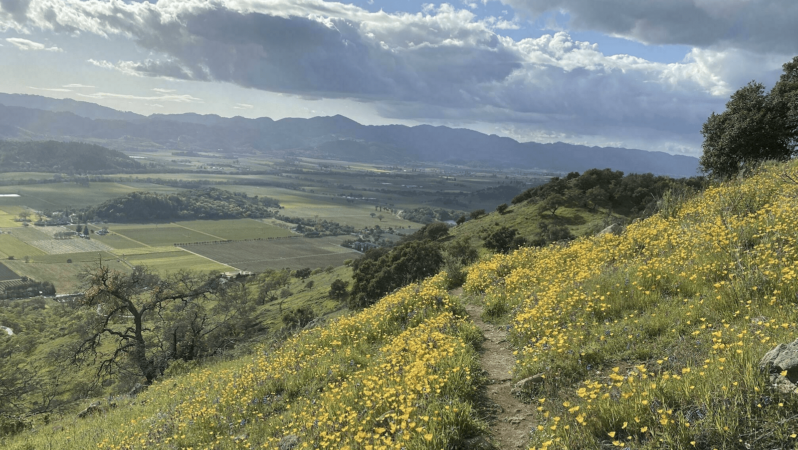
A varied loop in the lower section of Skyline Wilderness Park, you’ll get some of the best views from the top including San Pablo Bay, Lake Marie, and Marie Creek Canyon. With an elevation climb of 915 feet, this is a hike you should be able to complete quickly at a decent pace. Given that the trail starts at the edge of the city, you’ll be able to fit it in before wine tasting with ease. Park entrance is $6 — pay with cash or via the PayPal app.